
Reading an Upshur County Parcel Map
MapWV serves as the statewide gateway to Upshur County's public parcel viewer. Open an assessment result in the map. That view helps match a parcel key with roads and the polygons around it. Layers and tools vary by map. Treat the functions described here as a checklist for the current viewer, not a promise that every layer is switched on. Some Upshur maps simply carry more than others.
| Layer | What It Shows | Use |
|---|---|---|
| Tax parcel | Polygon and parcel identifiers | Locate the subject and surrounding tracts |
| Assessment link | Owner and assessment details where enabled | Open the matching tax-roll record |
| Roads and addresses | Road context and situs location | Resolve a rural address or old label |
| Aerial image | Visual land cover and structures | Orientation only; image date and accuracy vary |
| Hazard / district | Overlays or assessment boundaries if enabled | Screen a question, then confirm with the responsible agency |
The parcel ID leads back to the Assessor's record. The legal description then supports a request for the recorded deed or plat. No map settles ownership, tax balance, or boundary. A property search for Upshur County explains how the parcel key is found and checked against owner and address fields.
MapWV Viewer Tools in Upshur
The viewer works best with a linked result. Expect search, identify, measure, and print or export controls where enabled. Labels and export options change, so check them live. Some viewers lack a parcel-select tool. Click the surrounding polygons manually and record each ID. A measure tool estimates distance or area but never produces a survey-grade measurement. Exported output still depends on which layers the map exposes.
MapWV describes its public maps as free and links to GIS data and map services. The tool shines as a locator. It helps you pin down the right district, road, and nearby parcel before you request a deed, assessment, or tax record. A map image is not a certified description. The MapWV parcel viewer is the statewide interface for locating an Upshur parcel.
Upshur Tax-Map PDF Sheets
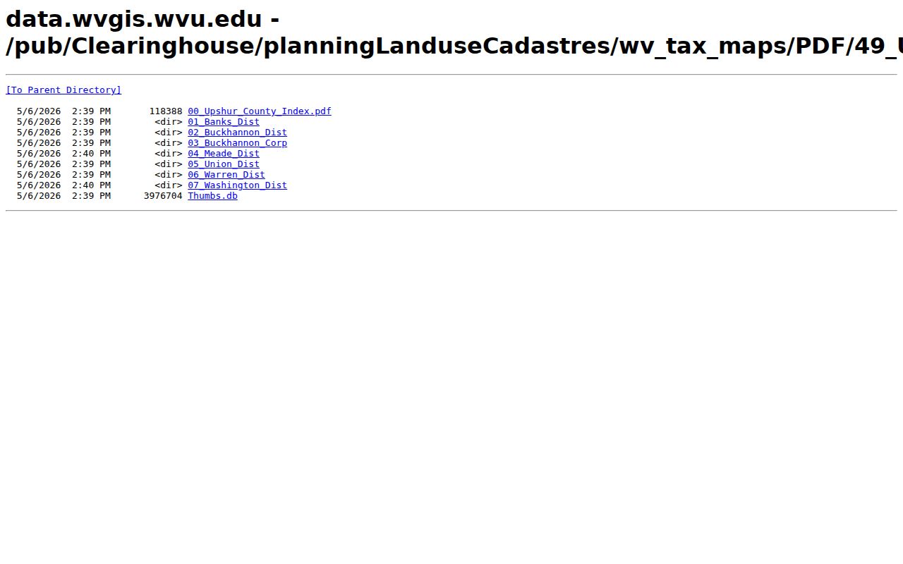
The West Virginia GIS clearinghouse hosts a county folder of Upshur tax-map PDFs. The folder includes the district map sheets. A PDF sheet helps pin down which sheet covers a tract. It also preserves map context when you ask the Clerk or Assessor for help. Note the assessor's tax-map material carries copying and redistribution restrictions, and the clearinghouse disclaims any implied official status.
When a sheet points to a subdivision or block, pull the recorded plat by subdivision name, lot and block, map number, or deed reference. The tax sheet locates the land; the recorded plat shows the filed lot layout and calls. The two serve different roles, so read them together rather than swapping one for the other. If a map image and a deed description seem to disagree, treat that gap as a question for the custodian or a surveyor. A line on the screen does not settle a boundary.
Always keep the district, map, parcel, and sub-parcel components together as shown. A shortened key can drop the very piece that tells two tracts apart. A rural street address may return nearby parcels instead. When MapWV shows a GIS ID, write it beside the tax-map sheet reference. That way the Assessor or Clerk can match the same land across the viewer, the Upshur PDF sheet, and the recorded instrument.
The Upshur tax-map directory holds the county PDF sheets along with their associated map files.
Finding an Upshur Parcel by Address
An address is a clue, not the legal key. Start at the Assessor's search form. Open the result in the viewer and match the road context against the selected polygon. Read each parcel component exactly as displayed. If several nearby polygons look plausible, compare the owner, legal description, and situs field before turning to the Clerk's index.
- Use MapWV assessment search with a street name or a known parcel component.
- Open the linked viewer and identify the polygon that matches the situs and road context.
- Copy the district, map, parcel, sub-parcel, and GIS ID without reformatting them.
- Use the legal description or a recorded plat for the next Clerk request.
- Parcel number
- The assessment and GIS key for a tax parcel; retain every displayed component.
- Plat
- A recorded map that lays out lots, blocks, roads, or dedications.
- Lot and block
- A land description that points to a recorded plat and a defined lot.
- Metes and bounds
- A written description using bearings, distances, and monuments.
Upshur Parcel Number Parts
The MapWV form exposes County, District, Full Parcel ID, Map Number, Parcel, and Sub-Parcel fields. No official guide spells out Upshur APN punctuation. Do not invent a delimiter or drop leading zeroes. Copy the identifier exactly as shown, and preserve the district and sub-parcel parts in your notes.
The parcel ID travels well across assessment and GIS systems. A deed works differently. Clerks identify a recorded deed by its parties, instrument date, and book/page or instrument number, not by the parcel key. Carry both sets of keys when you request records.
Plats and Older Upshur Descriptions
Legal descriptions in Upshur County come in two main forms. Platted subdivisions rely on a recorded plat, with each parcel defined by lot and block. Rural tracts work differently. They often use metes and bounds, a survey reference, or older community wording. That wording no longer matches modern postal habits. An address may have changed over the decades. The legal description is usually the most reliable link between today's parcel card and an older deed in the property records.
Request a plat from the County Clerk. Ask by subdivision name, lot and block, map number, or deed reference. A plat can reveal roads, dedications, lot layouts, and neighboring parcels. A deed alone never spells those out. Still, no plat substitutes for a current boundary survey. Where an old description affects a build or a boundary dispute, read the calls and monuments with a qualified land professional.
Buckhannon's Parcel and City Edge
A Buckhannon mailing address proves less than it seems. It does not confirm that a parcel sits inside the city limits. South Buckhannon began as a separate community and later became a city neighborhood. So an older deed can carry a label that differs from any current postal or street description. Two parcels with similar addresses can even fall under different permit authority.
Before asking about zoning or permits, compare the parcel geometry against the city boundary. Confirm jurisdiction with City Hall. The County Assessor stays authoritative for the tax parcel. The County Clerk handles recorded land instruments. For deed records tied to an old community name, search by the legal description rather than the mailing address.
Limits of Upshur Parcel Maps
A GIS parcel layer serves tax and location reference, not boundary determination. The line on screen may not match a fence, monument, deed call, or possession line. Aerial imagery can be dated or offset, and overlay layers may be generalized. Both the clearinghouse and the assessor map notice limit how official the displayed geometry should be treated. So confirm boundaries through the deed and a survey.
Not a survey. Use the Upshur GIS parcel map to locate the tract and nearby records, not to stake a line. For construction, a purchase boundary, or a dispute, rely on the recorded instruments and a licensed surveyor.