
Searching Buckhannon Property Records
Start with the MapWV assessment search. Save the owner of record, mailing and situs lines, district and parcel parts, legal description, value fields, and any deed reference the page shows. That parcel number travels well. Carry it, with the legal description, to the County Clerk's grantor-grantee index to find the recorded conveyance. The sheriff or tax office handles the tax bill. Ask there about the separate bill. Use the GIS viewer for parcel context, then make a City Hall permit or zoning request only after confirming the address lies inside Buckhannon.
- Search the street or owner in MapWV and save the full parcel key and legal description.
- Ask the Upshur County Clerk for the deed, plat, lien, or release tied to that land description.
- Check the assessment year and contact the sheriff or tax office for the current bill.
- Open the parcel in the statewide viewer and confirm the road and neighboring polygons.
- If within Buckhannon, ask City Hall for zoning or permit records using the address and approximate year.
The sequence keeps Buckhannon property records with their proper custodian at each step. The Upshur County property search instructions explain the MapWV fields, while the county parcel-map page covers tax-map and boundary limits.
Buckhannon's County and City Offices
The County Clerk keeps deeds and plats. The County Assessor keeps the parcel and assessment roll, while the sheriff or tax office handles bills and delinquency. Zoning and permits belong to Buckhannon City Hall. These custodians sit close together downtown. They still run separate counters with no shared search system, so a complete record means contacting each office; a county-wide office directory lists broader contacts.
Upshur County Land and Assessment
The Clerk records deeds, plats, liens, releases, and probate transfers; the Assessor provides parcel and value fields.
Buckhannon Permits and Zoning
City Hall, 70 East Main Street
Buckhannon, WV 26201
304-472-1651
Buckhannon Neighborhood Names in Records
South Buckhannon appears in official material as a former community later absorbed as a Buckhannon neighborhood. The county publishes no complete subdivision register. No plat-book list exists either. Familiar labels can still frame a property search. They are not verified subdivision names. Before treating a neighborhood label as a subdivision, find the recorded plat and its lot and block facts, and keep informal search seeds separate from formal legal descriptions.
| Neighborhood / Subdivision | Era | In the Records |
|---|---|---|
| South Buckhannon | Former community; exact transition era not captured | Neighborhood name is documented; request plat before assigning a subdivision |
| Downtown Buckhannon | Not verified as a subdivision period | Search seed for street and courthouse-area records, not a plat name |
| Buckhannon River / institutional areas | Not verified as subdivision eras | Geographic context only; use parcel ID and legal description |
Start with the formal subdivision name. Then take the lot and block. Take the map number and deed reference to the County Clerk. The Upshur parcel-map instructions explain how tax sheets and recorded plats differ. Never infer a subdivision prefix or plat-book number from a street or neighborhood label alone.
Buckhannon Annexation and City Limits
Buckhannon's zoning ordinance allows annexation by petition. Tracts can ask to join the city. No complete annexation list or map is published. This gap matters when an older deed names a rural community while the current address simply says Buckhannon, because a postal label cannot settle whether a parcel lies inside the corporate limit.
Before asking about a city permit, compare the parcel with the municipal boundary. Confirm jurisdiction with City Hall. Ask the Clerk or the city for the annexation ordinance and map tied to that tract. Never supply an annexation year the record lacks.
Buckhannon ZIP and Address Geography
Buckhannon mail generally carries ZIP 26201, though rural routes nearby may use other postal codes, and ZIP boundaries do not always follow the city limits. Treat the ZIP as a mailing label only. It is not a parcel key. For a Buckhannon property search, the address, owner of record, district, map, and parcel number are far better inputs, since the county assessment form has no dedicated ZIP field.
A Buckhannon mailing address alone does not settle jurisdiction. Confirm the physical situs and the city boundary separately, because a parcel can sit outside municipal limits yet still carry the Buckhannon postal label. The legal description and the GIS identifier tie the parcel to the county records no matter what the postal address says.
Buckhannon Zoning Form Fields
The published Buckhannon form is a zoning application. It is not a public address-search database. The form's controls can change between printings. The table lists the details to confirm with City Hall before submitting a property-specific request.
| Field or control | Type | Verified use |
|---|---|---|
| Site or property address | Text field; exact form control not verified | Connect the request to a county parcel |
| Applicant, owner, contact | Form fields; required status not verified | Confirm current submission rules with City Hall |
| Zoning permit request | Application choice | Published application is for zoning |
| Proposed use or project | Narrative; exact field not verified | Ordinance guides review |
| Search/results database | No public database located | Request permit history by address and year |
Zoning Is Not a Building Permit
The Buckhannon application is a zoning permit request. It is not a building or electrical permit. The ordinance puts permit records with the permit officer. That officer also provides copies to the County Assessor as West Virginia law requires. A city permit may explain an improvement that later changes the assessment record, but it is not a deed, an ownership record, or proof of title.
For a permit history, give City Hall the current address, any former street number, parcel ID, project description, and approximate year. A West Virginia FOIA request must be reasonably specific. The city responds within five days, excluding weekends and legal holidays, subject to exemptions and actual reproduction costs.
The city ordinance page carries the rules. Ask staff for the current application and submission method. Name the site and the likely year in any permit request. Do not ask the city to reconstruct ownership from its permit files.
Buckhannon's West Main Research Circuit
Three offices cluster near the courthouse on West Main. The Assessor sits at 38 West Main, Room 102. The County Clerk is next door at 40 West Main, Room 101. The Historical Society Repository is at 29 West Main, across from the courthouse. It rounds out the circuit. Work them in order. Start with the assessor for the parcel number and legal description. Next comes the Clerk for the deed or plat. Then visit the Society for maps, newspapers, and family papers tied to Buckhannon property records.
Proximity does not mean merged files. Each office keeps its own holdings. Call ahead about hours, copy prices, and appointments before you go. For a city permit question, add City Hall at 70 East Main. That office is a separate custodian outside this county loop.
The 1851 Buckhannon Court Session
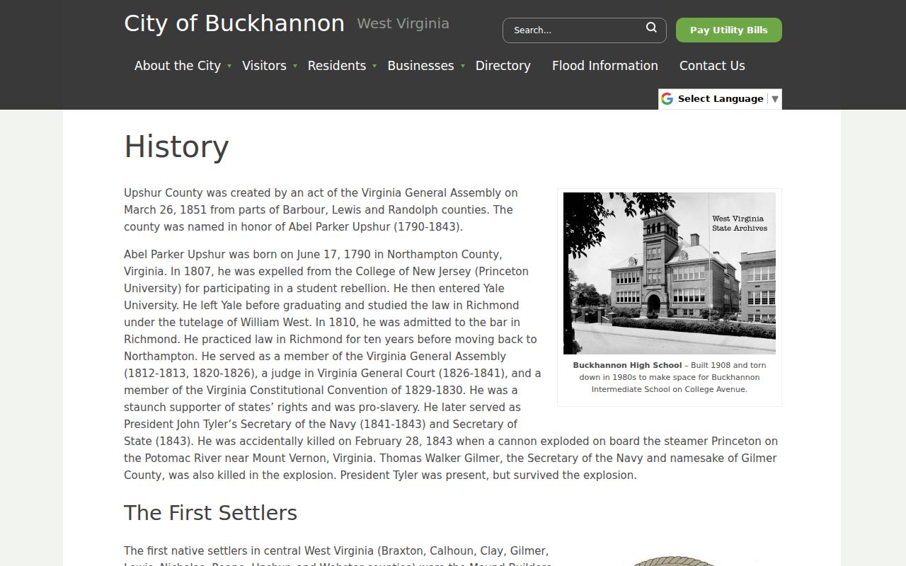
Upshur County government began in Buckhannon itself. The first court session met on June 17, 1851, at Andrew Poundstone's home. The city's official history supplies that account. That session gave land recordkeeping a firm starting point. Growth followed the Buckhannon River and later roads and institutions. Older deed descriptions may name communities or corridors rather than modern street addresses. Expect parcel language that predates today's grid. The official Buckhannon history page carries the court-session account and the broader chronology.
Buckhannon House-History Sources
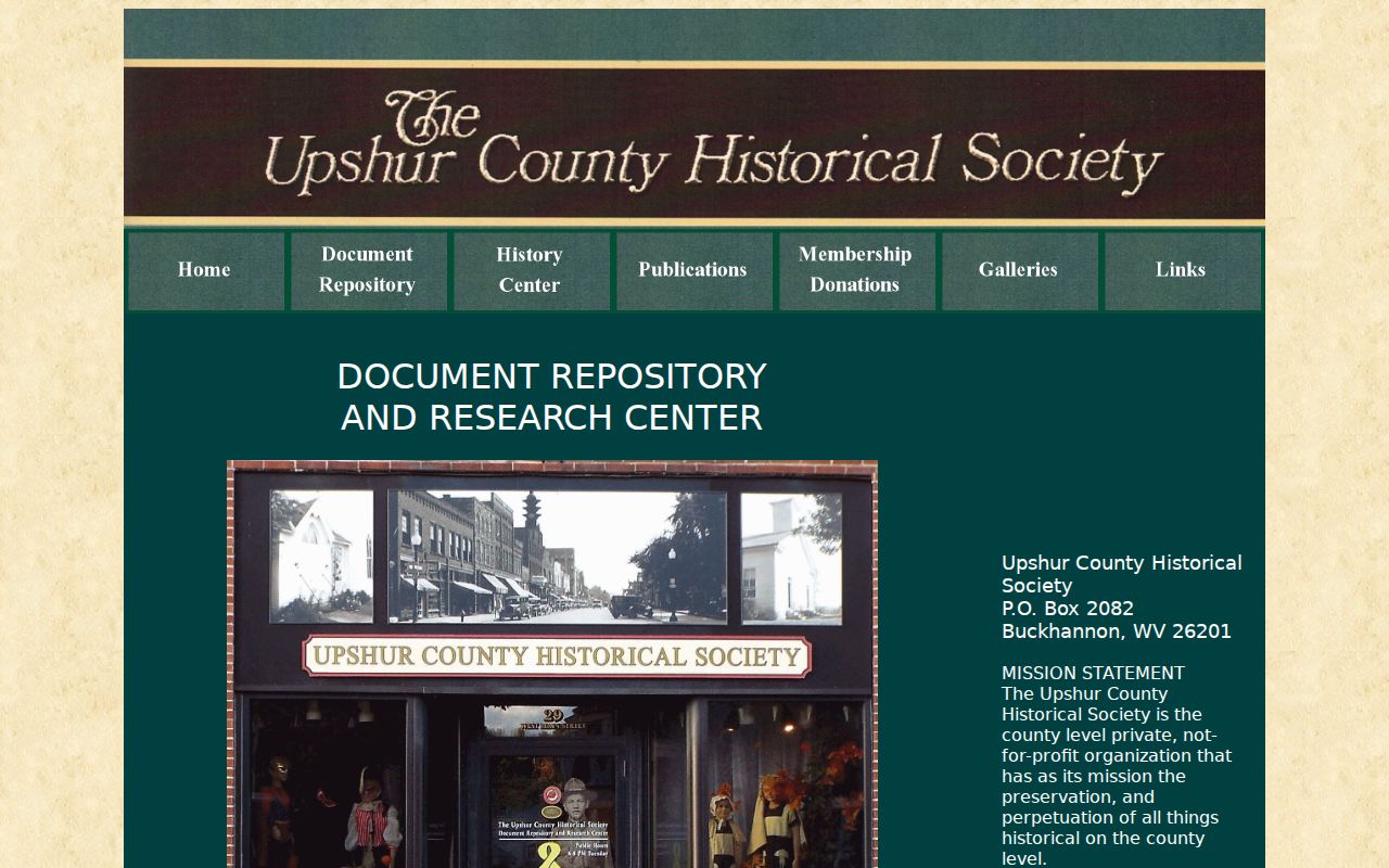
The Historical Society Repository page describes an appointment-only collection. It includes family papers, maps, newspaper references, cemetery and church material, county publications, and local abstracts. That page notes a complete Upshur newspaper run is not online there. Area papers still carried Buckhannon stories. Chronicling America is a free starting point for older West Virginia newspapers. Local microfilm plus the Society's holdings may hold material the web lacks. Reproduction requires permission, and historical material serves best as context rather than as a conveyance. Once the parcel's recorded trail is in hand, this local color can round out Buckhannon property records.
Buckhannon Property Value Context
Buckhannon publishes no city-only revaluation or neighborhood price series. Compare parcels instead by assessment year, land and improvement values, sales fields, and jurisdiction. West Virginia assesses property at 60 percent of current appraised value. A MapWV figure is an assessment record. It is not a market appraisal or a city price trend. A city permit may explain a jump in improvement value. Yet it shows neither the sale price nor title. Keep those Buckhannon property records separate when you research a parcel.
Buckhannon Edge Parcels
A Buckhannon mailing address can sit outside the city line. Old deeds also keep former community names alive. South Buckhannon shows how a community identity became a neighborhood label. Confirm the municipal boundary before assuming a zoning permit applies. The county parcel and deed stay searchable regardless of city jurisdiction. Use the current parcel ID and legal description first. Then ask City Hall whether the tract is inside the limits. Never infer jurisdiction from the postal label. This habit keeps Buckhannon property records and city permits distinct. The address may lie beyond the line.
Limits of Buckhannon Property Records
Buckhannon property records span county assessment and deed entries, plus city permits where they apply. Each type has limits. The assessment roll does not prove title, and a parcel map is not a survey. A permit is not a deed. An assessed value is not a market appraisal. When a question turns on the land description or the boundary, check with the Clerk or City Hall.
Lawful use. Use public records for property history, parcel diligence, and lawful civic questions. Do not use a Buckhannon name or address to track, threaten, or harass a person.